Blog
Historical Philadelphia Maps
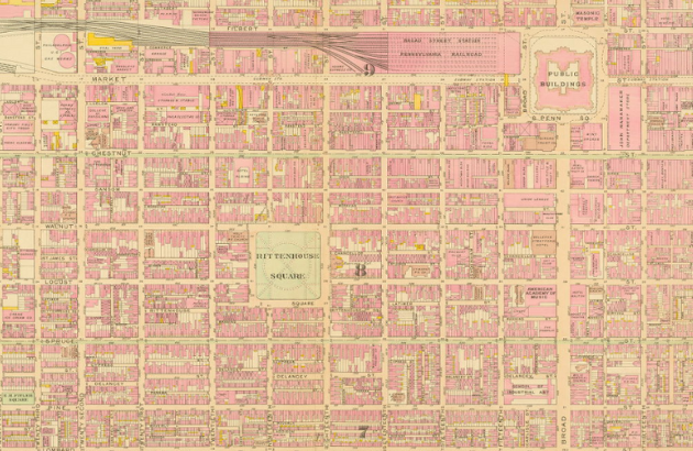
The Greater Philadelphia GeoHistory Network offers thousands of historic maps, plans, and surveys that show the development of the city from 1600 forward. This resource is a pilot project of Philadelphia Area Consortium of Special Collections Libraries (PACSCL). Institutions such as the Athenaeum of Philadelphia, The Free Library of Philadelphia, and Philadelphia Parks and Recreation contributed resources, with much of the scanning being done by the Athenaeum of Philadelphia's Regional Digital Imaging Center (RDIC).
The result is that researchers now have easy access to resources like A Map of Philadelphia and Parts Adjacent from 1750, the City of Philadelphia Zoning Maps from 1933, and Philadelphia Streets Department Historic Maps and Plans covering the years 1680 - 1971. The site also includes directories, aerial photographs, and atlases. It allows researchers to have a better grasp of the landscape of Philadelphia over time and provides context for historical research.
Use the 'Resource Browser' to discover each of the resources available through this website. Perform a Keyword search or browse by Geography, Contributor, or Resource Type. Check out the Interactive Maps Viewer which allows you to view mosaics of selected historic maps, mixed with current maps, and aerial photographs from Google in an interactive display.
When looking for older maps and resources, inquire about the materials in our Rare Book Room. These materials include Philadelphia zoning maps with materials starting in 1973 and survey maps from the early 1900s.
Need help finding additional resources? Ask us!
